Our Project Portfolio
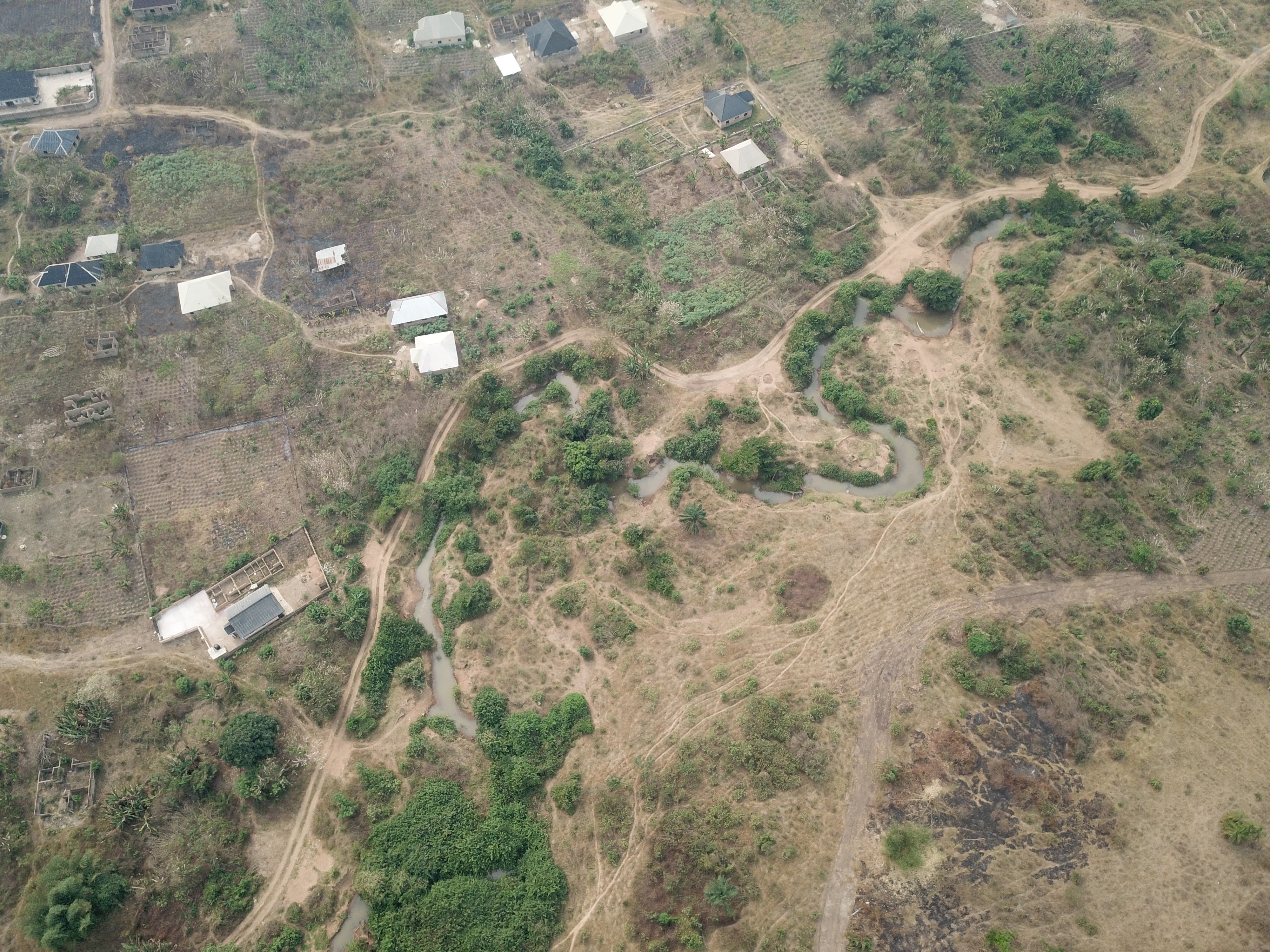
Ado-Ekiti (Nigeria): Mapping Overlapping Land Rights along Eleyinmi River
Lat: 7.690399333 | Lng: 5.23467766667
Large-scale land acquisition for institutional development from indigenous landowners, without effective utilisation, has over time led to the reoccupation and reuse of vacant lands by original owners. This has resulted in overlapping claims, posing significant threats to food security, land-based investments, and legally acquired land rights. Addressing this challenge requires reliable geospatial data to resolve conflicts and support the equitable and efficient use of land resources. To this end, Geoinclusive Ltd. undertook this project at the request of the Ekiti State Bureau of Lands, Survey and GIS. This initiative supports the Ekiti State Government's commitment to inclusive land governance, evidence-based decision-making, and sustainable land management.